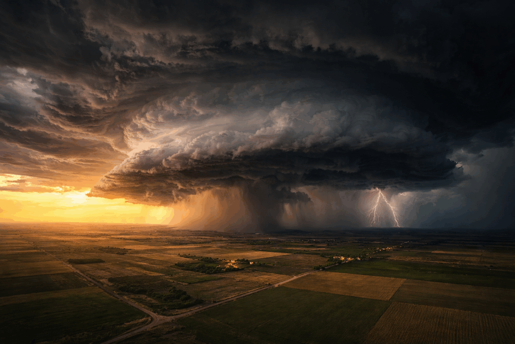
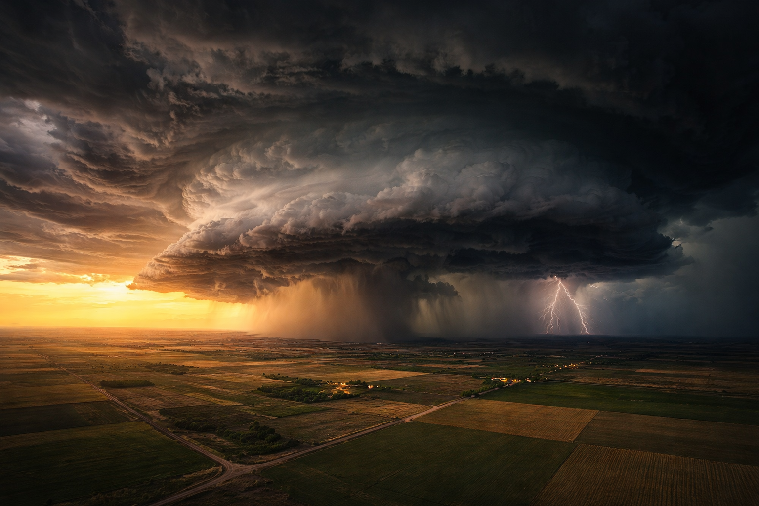
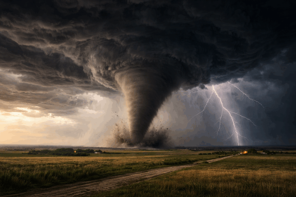
Tornado Tracking Map for News Stations: Embed Live Radar on Your Website
How news stations can add a live tornado tracking map and real-time Doppler radar to their website — no enterprise…
Ready to Power Your Site
with Live Weather Radar?
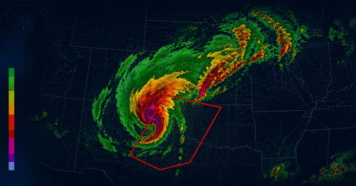
Our live weather radar helps weather-focused businesses and media
platforms improve operations, boost engagement, and deliver real-time
updates during severe weather. Explore our radar solutions or contact
us to get started.