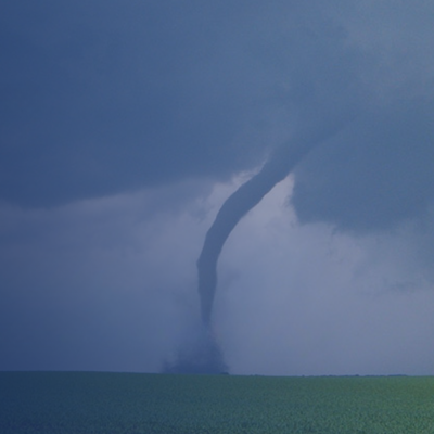
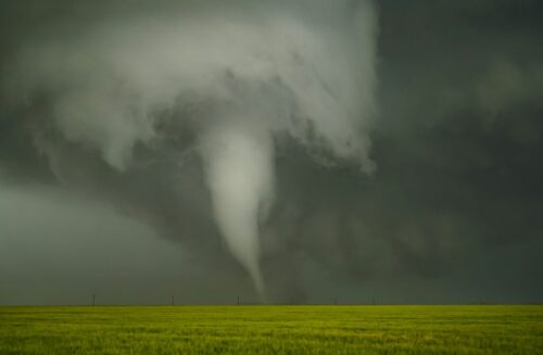
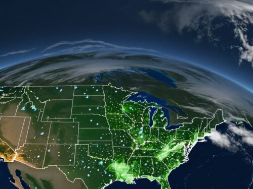
By Chris Hubbard

A mid level trough is headed to the DelMarVa region and will reach the area tonight. This system will be cause of some potentially serious weather effecting places from Richmond to Philadelphia. A strong low pressure (~992mb) is one of the main proponents of the severity of the weather.

Some strong vertical wind shear is also going to be in play, elevating CAPE levels (seen in the upper left hand picture). A strong pocket of PVA is associated with this front (bottom left), which is what will cause the heights to fall so low. A low pressure system with this low of a level almost looks like a winter Nor’easter and is not very common for June when we are so close to solstice. Tornado watches will most likely be issued for the DelMarVa region as well as for SE PA. Strong thunderstorm warnings will be far more extensive, reaching down into the Carolinas as the derecho stretches further south.
There is also a chance for thunderstorms throughout Wednesday night as the warm front associated with the low passes through. Some late night thunderstorm warnings may be issued, an not so common occurrence. Once the warm front passes through, a plume of warm, moist air will enter the region, leading up to the events on Thursday.
Model simulations from SimuAWIPS.